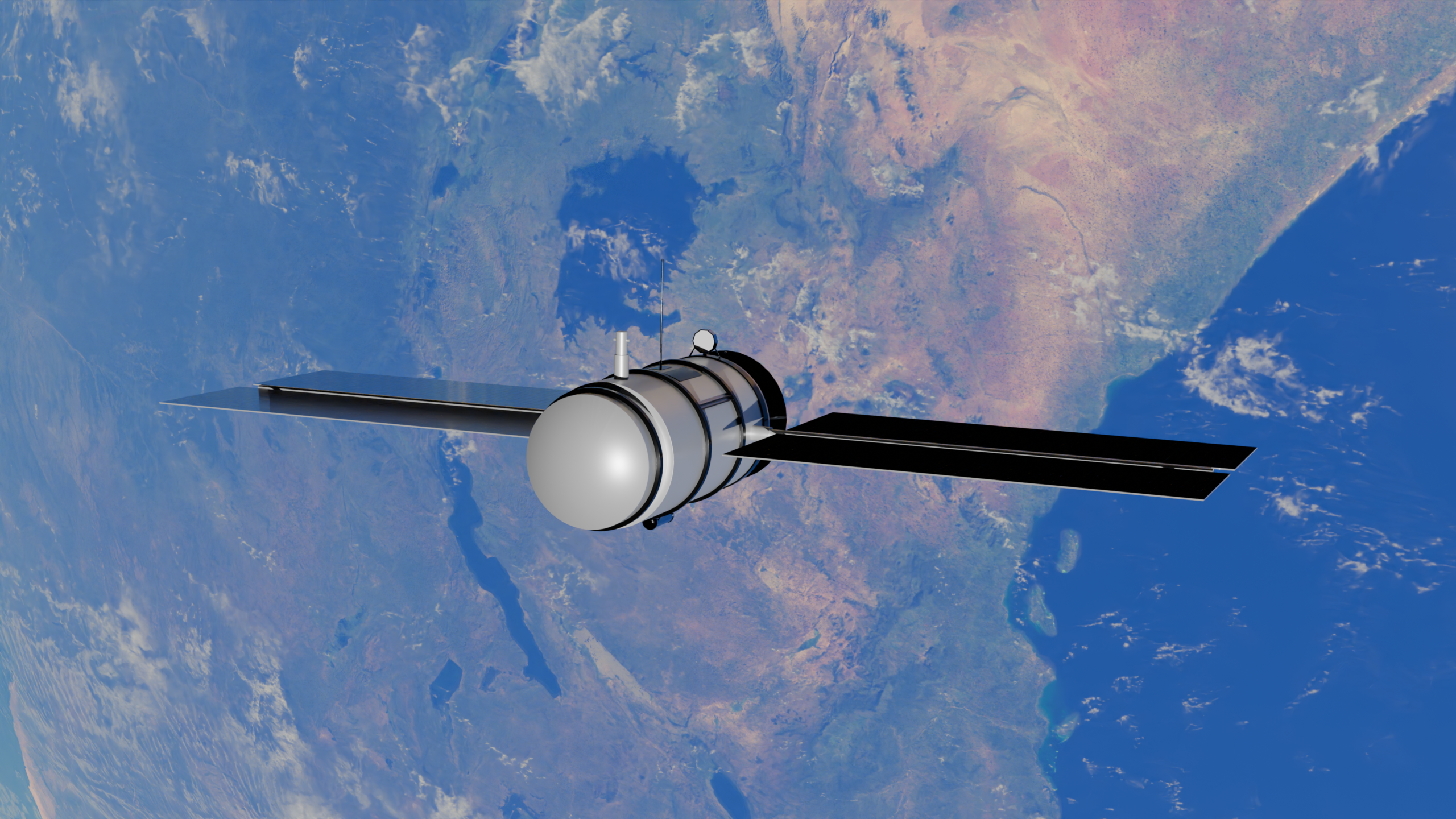
A strange radio-frequency signal at sea can be easy to spot and hard to understand. Is it a routine transmission, a vessel behaving unexpectedly, or a clue that only makes sense once it is set beside radar, tracking records and imagery? In a busy maritime corridor, the answer can turn on a few minutes of movement, a missing identification signal or a shape half-hidden by weather.
LatConnect 60 is building its latest defence offering around that question. The Perth-based Australian satellite Earth observation and AI company has unveiled a proprietary intelligence-fusion capability intended to bring disparate authorised data sources into a single decision-support layer.
The company is now offering demonstrations and workshops to defence and intelligence stakeholders across the Indo-Pacific, as interest in its planned SWIRSAT short-wave infrared satellite constellation moves beyond the prospect of imagery alone.
From a future sensor to a wider intelligence workflow
LatConnect 60 says conversations with regional defence ministries, armed forces and intelligence organisations began with prospective access to short-wave infrared, or SWIR, data. They grew more practical from there: discussions focused on mission use cases, areas of interest, satellite tasking, data sovereignty and the challenge of fitting another source of information into systems already in operation.
SWIR generally covers wavelengths of roughly 1 to 2.5 micrometres, beyond visible light and near-infrared imagery. That range can reveal differences in moisture, heat and material reflectance that are not always apparent in conventional optical captures, though its value still depends on the target, atmosphere and sensor design.
A satellite sensor is only part of an intelligence process. Analysts and commanders also need to know how a new observation relates to what they already hold, how much confidence to place in it, and what evidence sits behind a conclusion.
LatConnect 60’s new capability is designed to organize observations by time and location, then show where independent sources reinforce or contradict one another. The company says the system retains the evidence used for each assessment, with the aim of supporting human review rather than replacing existing defence platforms or workflows.
For organisations managing large volumes of inputs, the appeal is less about a machine making an opaque call and more about reducing the time spent moving between separate feeds. The hard work remains human: deciding what is relevant, what is authorised for use and what response, if any, should follow.
How the proposed fusion model works
LatConnect 60 says its platform can combine SWIR and other imagery with synthetic aperture radar, radio-frequency and signals intelligence, cooperative tracking feeds, ground sensors, open-source information and human intelligence.
Synthetic aperture radar is particularly useful in this mix because it is an active sensor, transmitting energy and measuring the return rather than relying on daylight. It can collect imagery through cloud cover, although interpreting radar scenes requires specialist skill and can introduce ambiguity of its own.
The company offered maritime surveillance as an example of the intended workflow. An unusual RF signal might first direct attention to a location. Radar could then help establish a vessel’s position and movement, while a tracking feed, such as Automatic Identification System data where available, could identify a mismatch between a vessel’s declared activity and the available observations.
SWIR imagery could add information about materials or activity in conditions where conventional optical imagery is constrained by haze, smoke or some forms of camouflage, LatConnect 60 says. The system would present the combined evidence to an analyst for review.
That sequence is a useful illustration of what intelligence fusion is trying to solve. No single input is presented as definitive. The stated purpose is corroboration, giving analysts a clearer view of where signals align and where they do not.
Why data sovereignty is part of the conversation
Among the operational questions raised in LatConnect 60’s regional engagements is data sovereignty, a concern with particular weight in defence settings. Agencies need clarity about who can access sensitive information, where it is handled and how it connects with national systems and approved datasets.
Access controls, software maintenance and audit trails are part of that practical picture. The consequences of weakly managed systems remain visible in cases of active exploitation of an Adobe ColdFusion flaw, where a security issue can become an operational concern rather than a technical footnote.
LatConnect 60 has framed its platform as a layer that can operate within customers’ existing environments. The company says demonstrations will use available data sources and representative mission requirements, allowing participating organisations to assess the technology against their own priority scenarios.
That evaluation-first approach also leaves important questions open. The company has not detailed which stakeholders will take part, what data environments will be used, or what performance measures will determine success. Those details will shape whether the capability moves from a demonstration concept into operational adoption.
SWIRSAT’s timeline shapes the next test
The AI offering arrives before LatConnect 60’s first SWIRSAT spacecraft are in orbit. The company says the first two missions are scheduled to launch in the first quarter of 2027, with commissioning targeted by the end of that quarter. Proprietary SWIRSAT data is expected to be added to the evaluation pathway after that commissioning process.
A satellite’s first images are only the beginning though. Operators must check image quality, calibrate instruments, validate downlink and processing systems, and establish how reliably the resulting data can be used in real mission workflows.
SWIRSAT has support from the Australian Space Agency and the Western Australian Government. LatConnect 60 has also outlined a near-term plan to expand the constellation to 18 satellites.
For now, the platform’s demonstrations can assess the broader fusion workflow with available sources. The arrival of the company’s own SWIR data will be a more consequential test, because it is meant to show how the sensing layer works alongside radar, signals and other intelligence feeds under representative conditions.
A broader bet on decision intelligence
LatConnect 60 describes itself as a vertically integrated, post-revenue company working across defence, agriculture, carbon and resources. It is headquartered in Perth and has subsidiary offices in Kuala Lumpur, Abu Dhabi and Delaware.
Its latest announcement signals a wider commercial and strategic ambition. Rather than positioning SWIRSAT solely as a source of satellite data, the company is presenting it as one component in a system intended to help customers make sense of many kinds of evidence at once.
That broader move mirrors a growing interest in AI systems built to assist decisions inside established organisations, including SAP’s planned sustainability AI agents. Defence use carries a different burden, however: the system must work within strict authority, security and accountability boundaries, and an analyst must be able to challenge what it presents.
For Indo-Pacific defence organisations, where maritime and cross-domain awareness can depend on piecing together incomplete observations, that promise will be judged in the details: how well the system handles authorised data, whether analysts can interrogate its conclusions and whether it fits the real constraints of existing operations. LatConnect 60’s workshops are the first public step toward answering those questions.